
Walking the San Carlos Street Directory
A street-level San Carlos street directory search starts with one address and widens only as far as the question requires. The county Property Maps service can turn a street address into a parcel and APN. That APN becomes the link to the assessor's map, the RecorderWorks party index, and nearby parcel geometry. A city permit may add a project participant, while a historical directory may add a past household. The order matters because the map supplies a stable key before a name is guessed.
Use this five-part walk when the goal is to understand a block or trace one address. The result is a source trail with clear limits, not an assumed household list.
- Enter the address in County Property Maps. Save the APN, highlighted parcel, assessor-map link, and available recorded-map links.
- Pan along the same street and click each parcel separately. Record adjacent APNs rather than treating a visual block as one legal unit.
- Ask the Assessor for the proper current owner channel, then search that party as a grantee in RecorderWorks to locate an acquisition instrument.
- Read city permit results by role. Owner, applicant, architect, engineer, contractor, agent, and lender are different entries and should stay different.
- For past occupants, request the local directory shelf or use a verified Polk year, then pair the address with a census, obituary, or deed date.
San Carlos Property Maps Search Fields
The county map workflow is the most dependable first stop in a San Carlos street directory search because it is address-keyed. The Assessor map guidance describes address, APN, book-and-page, and recorded-map routes. APNs use nine digits in the county's search guidance, with no dashes or spaces. An address result can link to an assessor map and available parcel or subdivision maps. A map result is geometry and a legal-map lead, not a verified public owner-name directory.
| Street address | Text search; use the physical situs address when known. |
|---|---|
| APN | Required nine-digit parcel number; enter it without punctuation. |
| Assessor map | Book and page route for an assessment map. |
| Parcel or subdivision map | Volume and page route, followed by the map result. |
| Map result | Highlighted parcel, APN, assessor map, and available recorded-map links. |
Address search can fail when a suffix, unit, or older street label differs. Switch to the APN if one is known. When the APN is not known, try the county's address form, then inspect the map instead of inferring a parcel from a nearby point.
The ACRE Assessor online services page shows the county's property-search entry point.
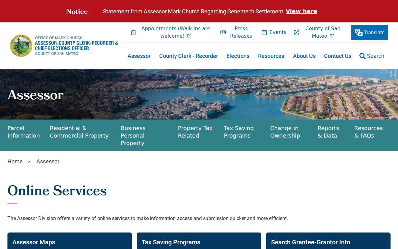
The online service gives a map-first route. For identity fields that do not appear online, call the Assessor at 650-363-4500 and ask about a specified APN.
San Carlos Parcels Along a Street
County GIS adds the side-to-side view that a single property result cannot. The San Mateo County GIS overview explains the Property Information Portal and map layers. Planning guidance says to click a parcel for Map Tips and use the right arrow to cycle through active-layer results. Layers can include zoning for unincorporated land, utility and service districts, flood, fire, airport hazard, scenic corridor, and agricultural context.
The county GIS landing page is the source for the property-information layers used in a San Carlos street directory.
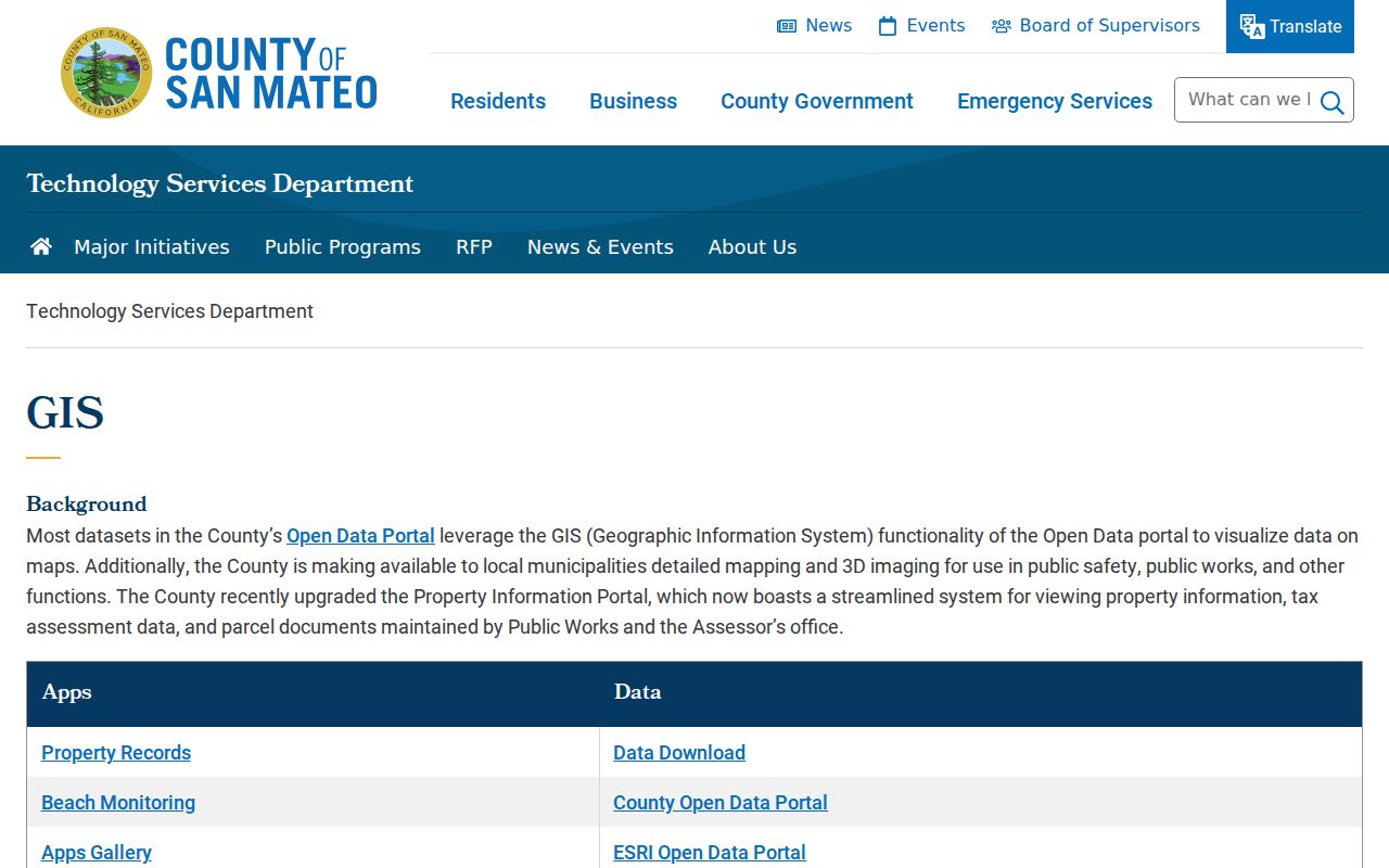
The landing page frames the map as parcel and layer context. It does not turn the GIS service into an owner-name directory.
San Carlos controls zoning inside the city, but county parcel geometry and APNs remain useful. The parcel service documents a 2,000-record query maximum. A technically skilled researcher can download a defined block, create an APN list, and then ask the record custodian about each parcel. The GIS polygon itself does not contain a complete list of occupants.
The ACRE Assessor map workflow illustrates the address-to-parcel step used by a San Carlos street directory.
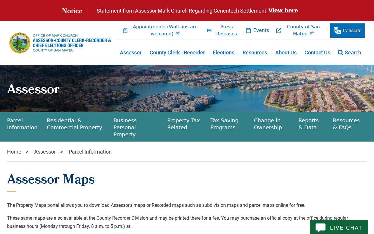
Use the highlighted parcel as a research key. Save the APN and legal-map context before moving to a name-indexed source.
For a wider block inventory, the county GIS data downloads include parcel, street, boundary, and precinct data. Downloaded geometry can show which parcels touch a street segment, but the identity step still belongs to Assessor or Recorder records.
San Carlos Records by Street
Several record sets can be joined by address, APN, or party name, but they do not all describe the same person. This coverage table keeps the San Carlos street directory layers separate.
| Record Set | Keeper | Street-Level Evidence | Access |
|---|---|---|---|
| Property Maps | County Assessor / GIS | Parcels, APNs, map links, boundaries | Free address or APN map search |
| Assessment material | County Assessor | Specified property and tax-record leads | Online fields limited; counter or phone |
| Deeds and liens | ACRE Recorder | Recorded parties, instruments, dates | Free index from 1985; copies by request |
| City permits | San Carlos departments | Project address and named participants | EnerGov or city request |
| Historical directories | Library and archives | Past occupants, occupations, address entries | Ask staff; verified Polk years online |
| Voter records | County Elections | Individual self-confirmation only | No public street browse |
The parcel number ties the map to a deed search. The street name helps a person find the map, but it does not make RecorderWorks address-keyed. A permit address ties a project to a site, not a person to a home. An old directory ties a listed person to a year and address, not to every household member.
Address Roles in San Carlos Permits
The current San Carlos EnerGov portal is the city's record-facing permit route. Its dynamic inspection did not expose stable current search labels or a historical cutoff, so the safest claim is that the portal exists and that City Hall can route a defined address request. The older TRAKiT instruction sheet is not a substitute for current EnerGov fields.
Permit forms can carry an owner, applicant, contact, architect, engineer, designer, contractor, agent, lender, license number, project address, phone, email, and signature date. Those fields identify participation in a project. They do not establish occupancy. Preserve the exact role when a permit name enters a San Carlos street directory trail.
The San Carlos EnerGov capture shows why project names should be read as roles rather than flattened into a resident claim.
When the portal does not expose the needed history, use the City Hall department contacts or a focused California Public Records Act request for an identifiable record.
Build a San Carlos Deed Chain
RecorderWorks is name-keyed, so a San Carlos street directory search needs a bridge from APN to person. The county's grantor-grantee guidance explains the online index and its image limits. Start with the acquisition owner supplied through the proper Assessor channel. Search that name as grantee. Note the seller, document number, recording date, document type, and legal description. Then search the seller as grantee and repeat.
- Normalize the street address and confirm the parcel and APN.
- Ask the Assessor about the current owner route for that APN.
- Search the person surname first in RecorderWorks and inspect party roles.
- Use the grantor as the next grantee, checking the same APN or legal description.
- At the 1985 boundary, move to public counter indexes or mailed copy channels.
RecorderWorks is free for index discovery. The county's copy channel supplies images when a document number and payment are provided.
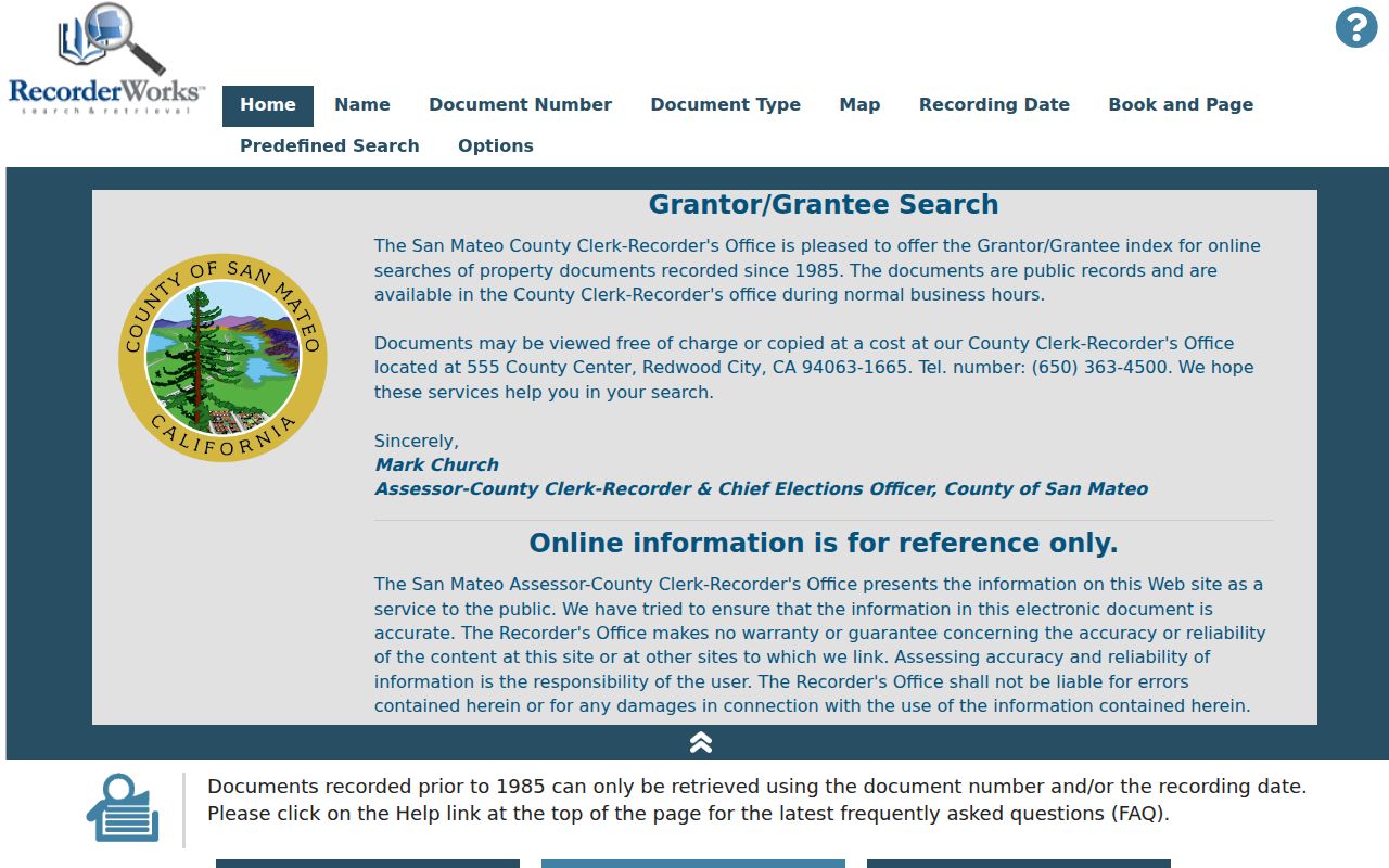
The RecorderWorks capture is most useful when the researcher records both the party role and the instrument metadata. Ownership is a legal interest, not a synonym for who occupies the address.
San Carlos Reverse Directory Clues
Historical address work adds a second layer to the San Carlos street directory. The verified 1953 Polk volume has an alphabetical San Carlos section with entries that can include surname, given name or initial, spouse, occupation, employer, residence marker, and address. The inspected abbreviations include “h” for home or householder and “r” for resides or rooms. A reverse or householder volume would begin with a street and numbered address, but the local shelf run was not officially published.
Ask the San Carlos Library or the San Mateo County Historical Association to check the exact reverse-directory years. The library's reference desk can also route newspaper, yearbook, telephone-book, and genealogy questions. The collection itself is treated in the San Carlos city directory book page. Do not substitute a generic online directory for a confirmed local volume.
Directory evidence is strongest when a street, year, and surname line up with a deed or census household. A missing entry can mean an unlisted person, a move, a spelling variant, a changed street label, or an incomplete run.
Why San Carlos Voter Records Stop Short
San Mateo's voter tool cannot browse a street or search a neighbor's name. It is a self-lookup built from house number, ZIP Code, and birth date. The full voter file requires an application, identification, a permitted purpose, geography, and a fee. Elections Code sections 2188 and 2194 and Government Code section 7924.000 restrict the file and protect sensitive fields.
This is an important myth check for anyone reading a street directory. A registration match can confirm the person's own status, party, precinct, and districts. It cannot list every registered voter on a block, disclose protected participants, or prove current occupancy. Historical great registers are a separate genealogy lead and should not be confused with the current self-check.
Ownership Versus Occupancy in San Carlos
The county map, assessor record, and deed chain can show legal ownership or a recorded interest. A mailing address can be different from the situs. A permit can name an owner, applicant, contractor, or designer. A business or license record can show an office. A directory can show a listed household in a particular year. None is a complete occupant list.
- Parcel
- A mapped unit of land identified by an APN.
- Situs address
- The physical location of the land, distinct from a tax mailing address.
- Plat or recorded map
- A map that shows a subdivision or parcel layout and its volume-page route.
- Criss-cross directory
- An address-first directory that can connect a street number to a listed occupant or phone entry.
Use those definitions to keep each record honest. If the goal shifts from a whole street to one person, the San Carlos resident lookup workflow uses case, document, entity, and license numbers to resolve same-name collisions.
Crossing San Carlos's 1985 Index Boundary
RecorderWorks' online name index begins in 1985, but deeds did not begin in that year. Earlier instruments require the Recorder counter, public indexes or books, and copy requests. FamilySearch's San Mateo County collection from 1851 to 1991 can provide browse-only historical images and indexed marriage intentions, while the Historical Association and library can bridge directory and newspaper gaps.
Do not describe the online cutoff as a break in ownership. It is a break in the web search route. Ask ACRE for an identifiable earlier instrument, include the party names and approximate date, and keep the legal description or APN in the request. Staff does not perform title research or legal analysis.
Limits of a San Carlos Street Directory
A San Carlos street directory cannot show every occupant, household member, protected voter, utility customer, delivery record, or DMV address. California's federal DPPA rules restrict motor-vehicle personal data. Safe at Home can shield qualifying participants. Private association rosters are not a public block list. A commercial neighbor product is a brokered compilation and can be stale or conflate names, so it is not official evidence.
Lawful personal use. Address and parcel records support house history, family research, and civic questions. Do not use a San Carlos street directory to stalk, harass, intimidate, or harm anyone.
When a public record is wrong, send the correction to the custodian: Recorder for a deed-index issue, Assessor for parcel identity, Elections for a registration record, City Hall for a municipal file, or the court clerk for a docket question. A focused request is safer and more useful than trying to reconstruct a private life from unrelated public fields.