
Looking Up Your San Carlos Neighbors
A block lookup has several layers. The parcel map shows shape and APN. Assessor and Recorder channels can identify legal owners and recorded parties for a specified parcel. City permits can show work and participants at an address. Elections offers a personal self-check, not a street browse. Community organizations can orient local history or public contacts, but private member rosters are not assumed to be public.
| Source | What It Shows About a Block | Access |
|---|---|---|
| County Property Maps | Parcel arrangement, APNs, map links | Free address or APN search |
| County GIS layers | Adjacent geometry, boundaries, districts | Viewer and data downloads |
| Assessor and Recorder | Specified owner and recorded instrument leads | Custodian channels; Recorder index from 1985 |
| City EnerGov | Project address and named participants | Current portal or City Hall request |
| Voter self-lookup | The requester's own status and districts | House, ZIP, birth date |
| Community groups | Public officers, history, contact points | Public material only; rosters unverified |
The table separates what a San Carlos neighbors search can map from what it cannot name. A block is a geographic relationship, not a public roll of every household.
Click Parcels Around a San Carlos Address
Start with the subject address in County Property Maps. Click the highlighted parcel, save its APN and map links, then pan to each adjoining polygon. Map Tips and the right arrow can cycle through active-layer results. There is no verified public radius or buffer button, so define the block by the parcels you can identify and record them one by one.
County GIS can add flood, fire, airport hazard, scenic corridor, service district, zoning, and boundary context. San Carlos zoning is a city function, while county geometry remains useful inside the city. The map shows land and layers. It does not show every person tied to the land.
The county's GIS overview at San Mateo GIS explains the property-information context. Save a screenshot or export with the date because layers and services can change.
Build an APN List for the San Carlos Block
A neighbors lookup becomes repeatable when it produces a small APN list. County open data documents parcel, street, boundary, and precinct downloads, with common GIS formats. The parcel service documents a 2,000-record maximum query. For a small block, click and record. For a larger defined area, use a download, filter the geometry, and then verify each APN with the proper custodian.
- Write the subject address and check the postal line separately from the parcel location.
- Capture the subject APN, legal-map link, and adjacent parcel APNs.
- Ask the Assessor about the owner inquiry for each specified APN.
- Use RecorderWorks to search a named party and follow a recorded instrument only when needed.
- Keep permit, voter, and community evidence in separate columns with their limits.
Public data geometry is strongest for the shape of a block. It is not an identity file. Do not infer a resident from an APN or a parcel polygon.
The county voter-file information capture shows the restricted layer that must stay separate from the GIS APN list.
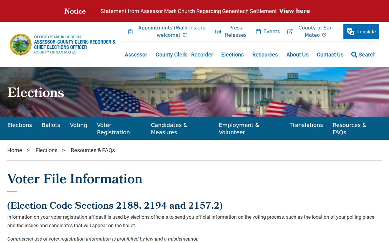
The restricted voter-file material shows why a block APN list should not be presented as a voter list.
Separate San Carlos Owners from Occupants
Ownership is one legal relationship. Occupancy is another. A Recorder grantee receives an interest in an instrument. A tax mailing address receives notices. A permit participant works on a project. A business agent represents an entity. A directory lists a person in a dated edition. A San Carlos neighbors lookup should preserve those roles in its notes.
The county did not verify a current public owner-name web search through Property Maps. Ask the Assessor at 650-363-4500 about a specified parcel. Use RecorderWorks from 1985 forward for the name-indexed instrument trail, and use counter or copy channels for images and earlier material. The street, APN, document number, and date do more work than a broad name guess.
This distinction is the main protection against turning a parcel map into a misleading block directory.
What San Carlos Permits Reveal About a Block
The San Carlos EnerGov portal is the current permit self-service route. The inspected interface did not expose stable current search fields or a historical cutoff. City Hall can route a defined project or address request. Permit application fields can include project address, owner, applicant, contact, architect, engineer, designer, contractor, agent, lender, license information, phone, email, and signature date.
These names explain who participated in a construction record. They do not show who lived at the address. A project can involve several professionals and an owner who receives notices at another mailing address. Keep the field label and role beside every name.
The California consumer complaint portal capture is a correction and safety route; a permit capture can be a useful block-history clue, but the public portal's current limits should remain in the description.
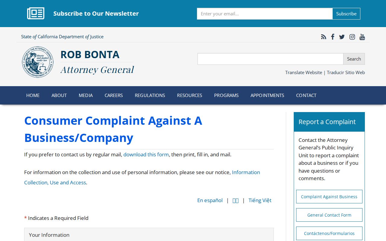
When a record or service issue needs correction, contact the relevant custodian or the California consumer complaint channel, not an unrelated neighbor.
Why San Carlos Voter Tools Cannot List Neighbors
My Election Info asks for the requester's house number, ZIP Code, and birth date. It can show registration status, party affiliation, precinct, districts, and election-specific information for that self-check. It cannot search a name, browse a street, or reveal adjacent registrants. The full voter file requires an application, identification, permitted use, geography, and fee under Elections Code sections 2188 and 2194.
Government Code section 7924.000 protects residence address, telephone, email, precinct, prior registration, and identifiers from ordinary CPRA disclosure. Safe at Home participants can register confidentially. A missing voter result is not evidence that a person is not on a block, and a self-match is not a list of neighbors.
Use the county voter-file information page for the permitted application route and restrictions.
Greater East San Carlos and Local Groups
Community context can make a block search more human without exposing a private roster. An official planning record identifies Greater East San Carlos as a neighborhood group and Harbor Industrial Association as an interest group consulted in planning. These names are useful leads for public meetings, officers, historic documents, or contact channels. The research did not find a comprehensive official neighborhood or HOA directory.
| Greater East San Carlos | Named neighborhood stakeholder in planning material; ask for public contact or meeting records. |
|---|---|
| Harbor Industrial Association | Named interest group; use public organizational material for commercial-area context. |
| San Carlos Villagers | Local-history group founded in 1949; useful provenance lead, not a resident list. |
| Public officers and contacts | May orient a civic question; private member rosters are not presumed public. |
Group names should be searched separately from parcel records. A planning stakeholder does not equal a household directory, and membership should never be inferred from an address.
The Historical Association catalog at PastPerfect can be searched by street, business, school, organization, or surname before an appointment.
The California DROP privacy portal capture shows a separate deletion route for registered data brokers.
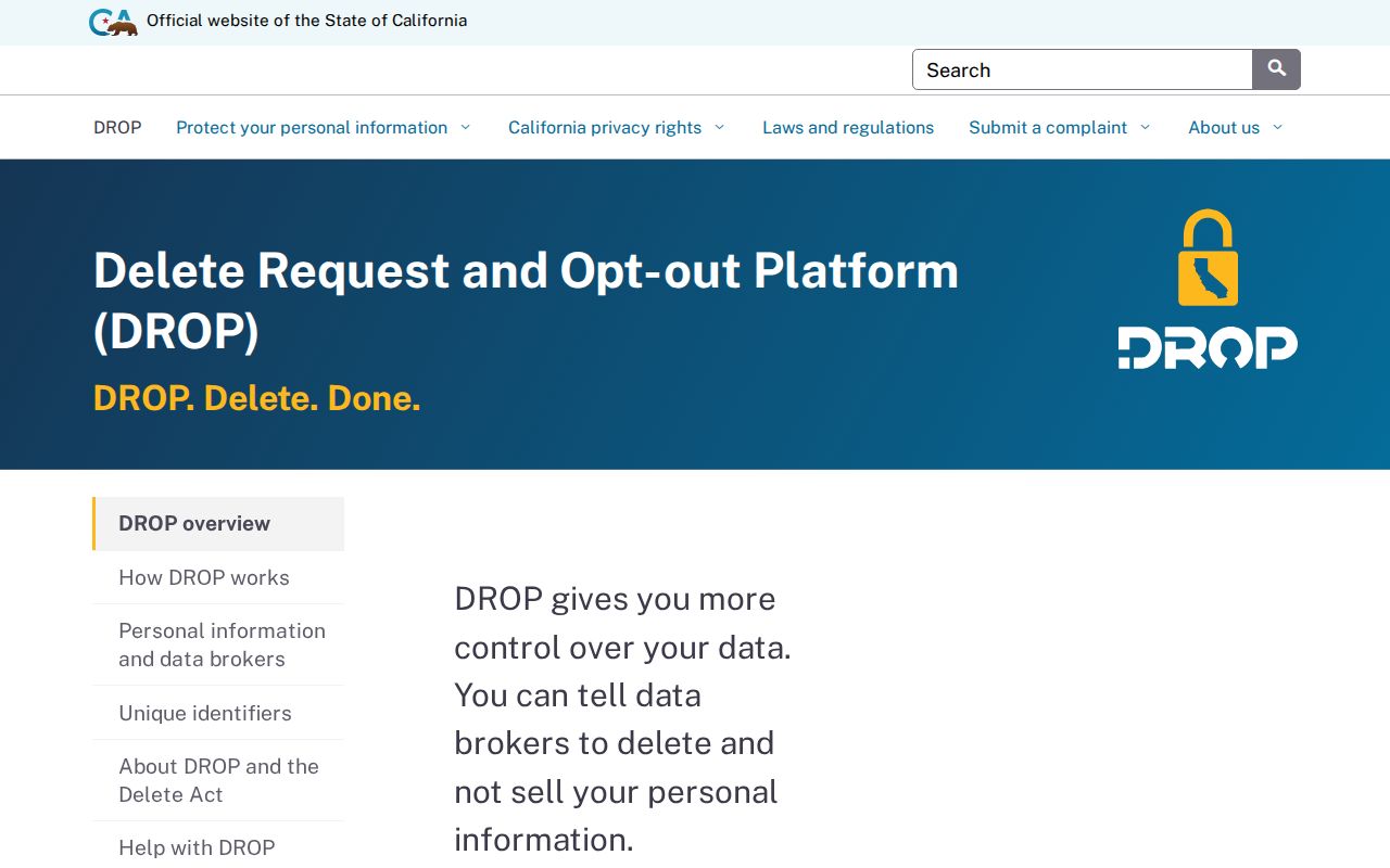
The California DROP capture is a privacy resource, not a neighborhood roster. It shows a different side of responsible people-record research.
Private Rosters and San Carlos Privacy Boundaries
Association membership, congregation registers, utility accounts, delivery records, DMV addresses, and private household lists are not public block layers in the research. California Safe at Home can shield qualifying survivors and threatened public workers. The Delete Act and CCPA give deletion and opt-out tools for some commercial data, but they do not erase government records a custodian must retain.
There is no single “remove me from public records” form. A broker deletion request, Safe at Home enrollment, court sealing, voter confidentiality, recorded-document redaction, and correction of a bad index are different processes. Direct the request to the office named in the record.
The California DROP portal opened in 2026. A user keeps a DROP ID and tracks the request. It is a timely privacy option for registered brokers, not a method for obtaining a neighbor's information.
The FTC fraud-reporting capture should be read beside the privacy and correction routes in a block research note.
The FTC fraud reporting route is for a suspected scam, not for validating a person. Verify solicitations through the official custodian domain first.
Official Rolls Versus Commercial Neighbor Tools
A commercial neighbor product may combine brokered and public data, retain old addresses, charge for access, or conflate people with similar names. It is not an official parcel roll, court index, voter file, or proof of current occupancy. Official sources are also incomplete, but their custodian, field definitions, and access rules can be checked.
| Question | Official route | Commercial category |
|---|---|---|
| Where is the land? | County GIS and Property Maps | May show an old or generalized address |
| Who holds a recorded interest? | Assessor and Recorder channels | May merge parties or omit role context |
| Who checked voter status? | Individual Elections self-lookup | Not an authorized voter source |
| What happened in a case? | MIDX and Odyssey | May copy incomplete docket data |
| Who is in a community group? | Public officers or meeting records | Private roster claims are unverified |
The official route is not always faster. It is clearer about what a field means and who can correct it. That distinction is especially important when a block question involves a living person.
The federal identity-theft recovery guide provides a safer response when personal data has been misused.
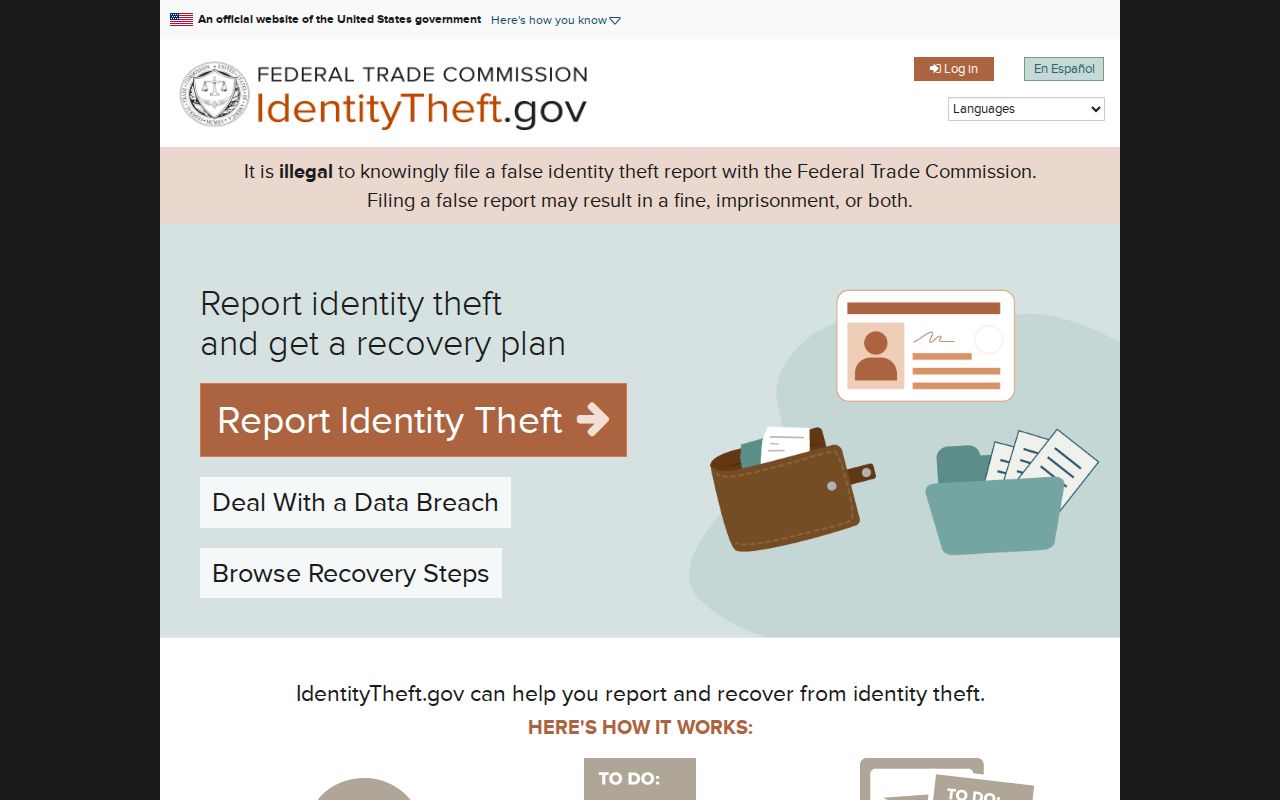
Use an official recovery route when the issue is harm or fraud, not a broader search for more personal data.
Privacy Limits on a San Carlos Neighbor Lookup
A San Carlos neighbor lookup can map adjacent parcels, compare public land records, identify project history, and orient a civic question. It cannot disclose every occupant, household member, protected voter, utility customer, delivery recipient, or private association member. The county voter tool cannot list neighbors, and GIS geometry cannot prove who lives in a building.
Lawful personal use. Use block records for property curiosity, family history, civic transparency, and personal safety. Do not use neighbor information to stalk, harass, intimidate, or harm anyone.
When a result is wrong, send the exact field and source to the custodian: Assessor for parcel identity, Recorder for an indexed instrument, Elections for a voter record, City Hall for a permit, or the court clerk for a docket. For a full named-street chain, use the San Carlos street directory route and keep its current-address scope separate from this block view.