
San Carlos ZIP Codes and Coverage
The available official sources consistently verify 94070 as the primary postal ZIP for San Carlos addresses, including the City Hall and Library address examples. They do not establish a second San Carlos ZIP, a PO-box-only ZIP, a formal split, or a ZIP realignment history. That restraint matters. A ZIP code directory should state what the evidence supports and send an individual address to USPS for a final answer.
| ZIP | Areas Covered | Post Office | Notes |
|---|---|---|---|
| 94070 | Primary San Carlos postal city and official city addresses | Exact USPS station not captured | Only consistently verified San Carlos ZIP in the research |
A postal city label can serve addresses near a municipal edge. It should not be used as a substitute for the city-boundary layer, a parcel APN, or the correct planning custodian.
94070 Is a Postal Route, Not a City Line
ZIP codes organize mail delivery. They do not define incorporated boundaries. The San Carlos ZIP code directory therefore needs two checks: verify the address with the USPS address-to-ZIP lookup, then compare the result with San Mateo County GIS city and boundary layers. A San Carlos postal city can be visually close to another jurisdiction, while an unincorporated parcel can sit inside the city envelope.
The county General Plan anticipates possible annexation of contiguous unincorporated residential land. That planning context means postal city, municipal jurisdiction, and county service can diverge over time. No formal ZIP split or realignment date was found, so do not create a neighborhood-by-ZIP table from assumptions.
The ZIP page remains useful when its claims are narrow. State the postal code, name the verification source, and keep the boundary question open until the individual address is checked.
Verify Every San Carlos Address with USPS
USPS is the right final check for a specific mailing address because ZIP assignment can depend on the full street line, unit, and delivery route. Keep the returned ZIP, city label, and address formatting together. Do not copy a ZIP from a nearby parcel or from a general city page.
A verified postal answer still does not reveal an occupant. It simply gives the correct key for a mail route, a county search form, or a notice request. A resident search then moves to Property Maps, RecorderWorks, Elections, a historical directory, or another custodian that has the needed record.
The county data-download page shows why ZIP layers should be compared with parcel, street, city-boundary, and precinct data rather than read in isolation.
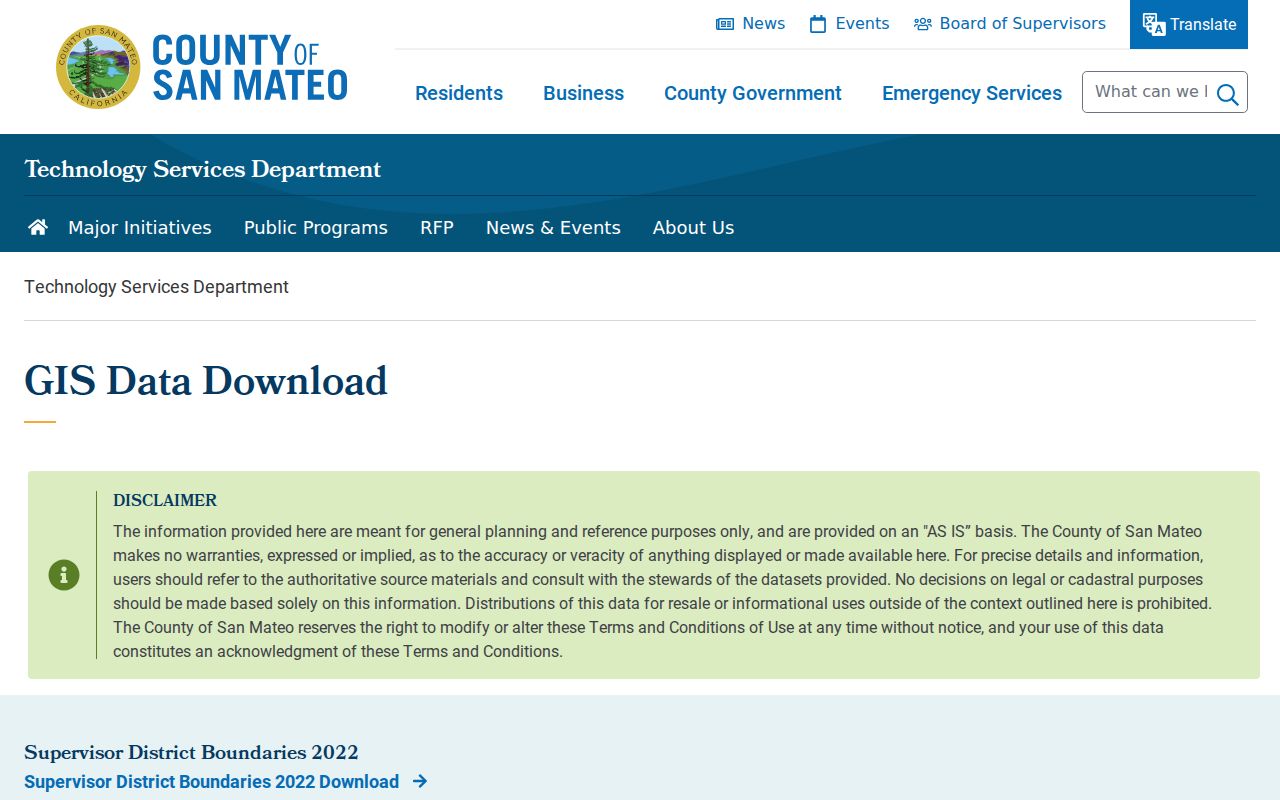
GIS data is a boundary and geometry aid. USPS remains the address-level postal authority for the individual line.
Finding Residents by ZIP Code
A ZIP-wide San Carlos resident search must be built from smaller, permitted steps. The county did not verify an official owner-name search that accepts a ZIP and returns all owners. My Election Info is a self-check, not a ZIP-wide voter browse. Use the ZIP to normalize an address or narrow a question, then move to the relevant parcel or named record.
- Run the full address through USPS and save the returned ZIP and postal city.
- Compare the address with the county GIS city-boundary and ZIP layers.
- Use County Property Maps to find the parcel and nine-digit APN.
- Ask the Assessor or Recorder about the specified APN, not an unsupported ZIP-wide owner list.
- For historical people, compare a verified directory year with a census, newspaper, or obituary.
Once a ZIP narrows the address set, the San Carlos street directory method takes over at parcel level. ZIP is the filter; the street, APN, document, and date are the evidence keys.
Compare San Carlos ZIP and City Boundaries
The county GIS layers can show city boundaries, streets, parcels, and election precinct context. The map does not make every visible parcel a city record. Devonshire Canyon is a specific routing trap because it is an unincorporated San Mateo County enclave surrounded by San Carlos. A nearby address may therefore require county planning or permit research even when the landscape looks continuous.
San Carlos zoning authority applies inside the city. County parcel geometry and APN data remain useful for locating the land, while City Hall and the county departments determine which file custodian holds a permit or planning record. A ZIP code directory should point to that jurisdiction check instead of promising a single local office.
The San Mateo County GIS overview is the appropriate starting point for boundary and property-information context.
The Historical Association's searchable catalog is another boundary-era research lead, especially when a street or organization name needs a date.
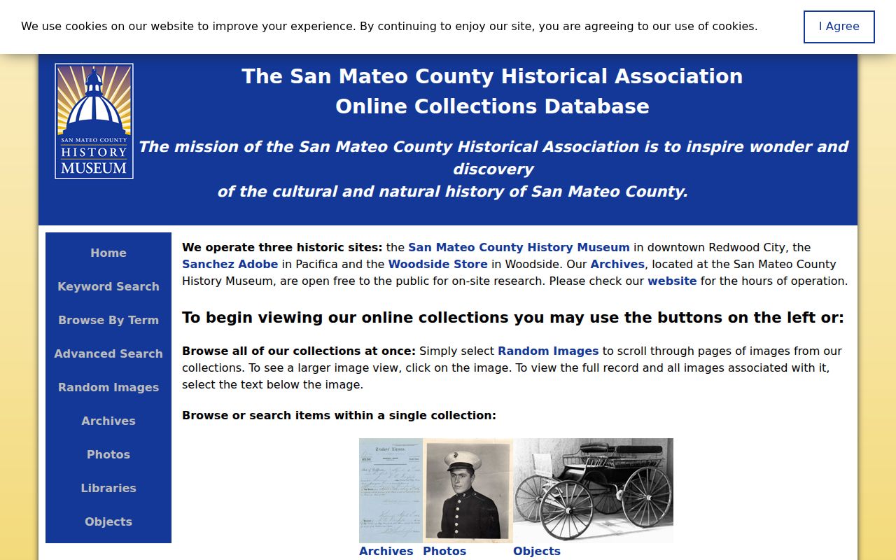
A catalog result can orient a later appointment, but it is not a ZIP-wide list of residents.
ZIP, Situs, Mailing Address, and APN
Four keys can appear together but mean different things. ZIP code routes mail. Situs address identifies the physical land. Mailing address receives notices. APN identifies the county parcel. The legal description can survive a street-label change better than a postal line. A ZIP code directory becomes more accurate when each key is copied into its own field.
- ZIP versus ZIP+4
- The five-digit ZIP identifies a delivery area; the extra four digits refine a delivery segment.
- PO-box ZIP
- A postal code assigned to boxes or a facility rather than ordinary street delivery; none was verified for San Carlos.
- Unique ZIP
- A code assigned to one institution or narrow organization; no San Carlos example was confirmed.
- Carrier route
- A delivery path inside a postal area, not a municipal boundary.
- APN
- The county's nine-digit parcel number used to connect a map to property records.
When an address search fails, the APN route can rescue the parcel lookup. When an APN is not known, request the map result first and avoid guessing from a ZIP.
Unincorporated San Carlos Edge Cases
A postal label can conceal a records-routing difference. The Devonshire Canyon enclave is surrounded by San Carlos but remains under county jurisdiction for the purposes identified in the research. A permit, planning case, or land-use question should therefore begin by checking the municipal boundary and the custodian, not by reading the postal city alone.
The same care applies to historic geography. San Carlos incorporated on July 1, 1925. Older census or directory entries may use township or unincorporated San Mateo County descriptions. The California 1852 state census predates both the county's 1856 formation and San Carlos, so predecessor San Francisco County geography can matter for early research.
Boundary context is an interest layer, but it is also a practical way to avoid sending a well-formed ZIP request to the wrong office.
San Carlos ZIP Search Fields and Limits
The only captured local ZIP-capable name tool is the individual voter self-check. Its fields show why ZIP is not an open directory filter.
| Your House Number Only | Number only; required. |
|---|---|
| Your ZIP Code | ZIP for the requester's address; required. |
| Your Birth Date | Month, day, and year selectors; required. |
| Result | Status, party affiliation, precinct, districts, and election information where shown. |
| Not available | Name search, street browse, neighboring registrants, and ZIP-wide resident list. |
Use the county voter self-lookup only for the person and address being checked. A full voter file has a separate application, purpose, ID, and fee path under Elections Code rules.
The research file did not verify a ZIP-filtered owner portal. That is an explicit limit, not a reason to substitute a commercial compilation.
ZIP Population and Family-History Context
The Census QuickFacts page reports city-level population and demographic figures, not a person list for 94070. It states 30,722 residents in the 2020 census, 28,406 in 2010, and an estimated 29,261 on July 1, 2025. The page also gives multi-year characteristics, including a 25.9% foreign-born share for 2020-24. These time bases should not be mixed into a ZIP claim.
The official QuickFacts capture supplies the city-level context behind those time-stamped figures.
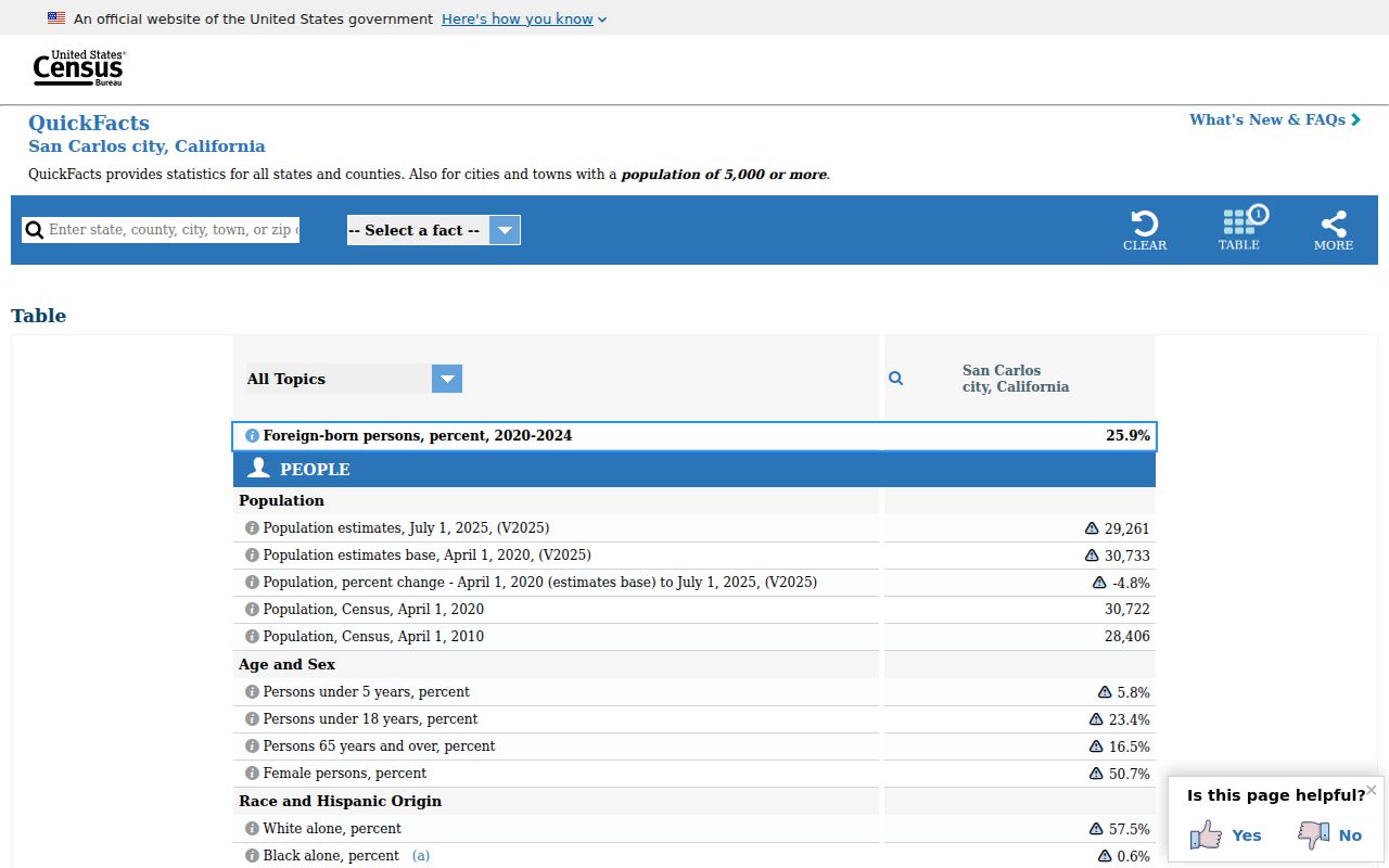
City-level statistics add context to a ZIP question, but they do not allocate people to a postal route.
For family history, ZIP geography can help test an address on a directory page or census sheet. The San Carlos Library's genealogy resources include My China Roots, launched locally in 2025, with immigration, travel, burial, vital, and family-tree material. It supports a research question without implying that a ZIP directory captured every immigrant name.
The library's My China Roots announcement illustrates the difference between local reference access and a postal directory.

Use the database for a documented family-history lead, then verify the person's place and date through the collection named in the result.
San Carlos ZIP Code Boundaries and City Limits
ZIP boundaries and San Carlos city limits are different maps. A correct postal code can still route a permit, planning, or parcel question to the county. A city boundary can contain addresses whose delivery details need individual USPS verification. No authoritative source in the research established a second local ZIP, a PO-box-only code, or a dated realignment. The honest answer remains address-level verification.
For older household work, the latest public federal census is 1950 under the 72-year release rule. The NARA census guidance helps pair a historical address with the right geographic label. The Historical Association catalog can add a street, school, business, or organization lead, but it is not a ZIP-wide resident roll.
The National Archives capture shows the release rule that limits public name-level census work.
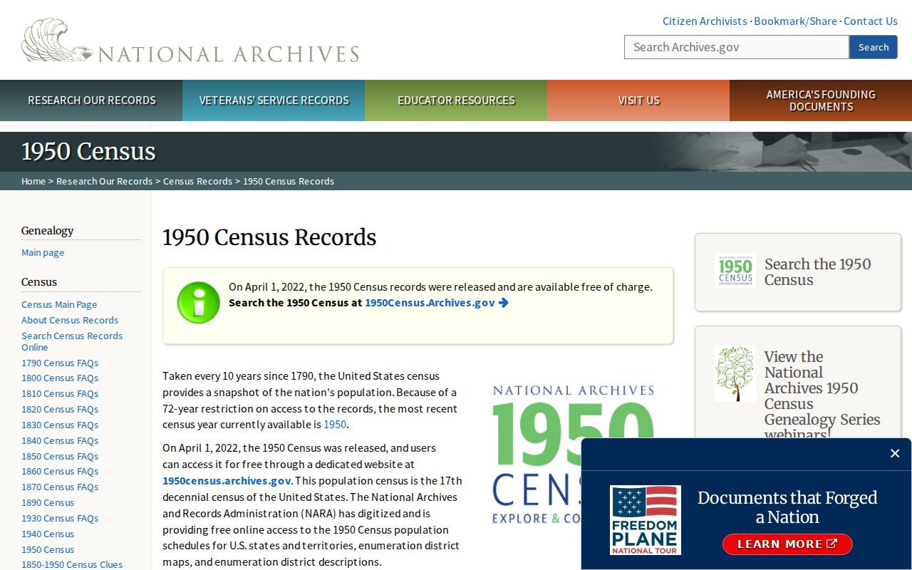
Use the census as a dated household snapshot, then return to the parcel and directory sources for local continuity.
Keep the keys separate. USPS verifies the postal route, GIS tests the boundary, Property Maps finds the APN, and a custodian supplies the record tied to that parcel or person.